 Illustrative photo
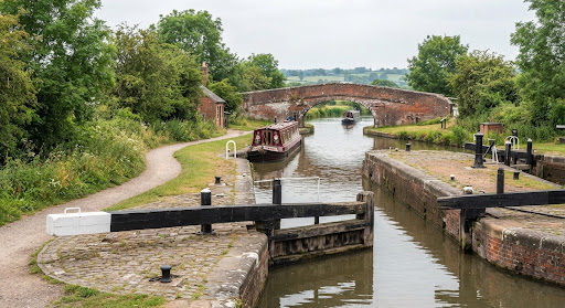
Llangollen Canal launch point, Froncysyllte
Llangollen Canal
- Nearest car park
- under 10 m (mapped as private)
- Nearest toilets
- ≈ 470 m
330 mapped launch points for canoes, kayaks and paddleboards in Wales. 45 have their own pages; every mapped point is on the map of Great Britain.
Mapped as a launch point. Check local access rules, signs and conditions before you go.
Straight-line distances to the nearest car park and toilets on the map – not walking routes. We can't tell whether they are public, free or open.
Counties: GwyneddPembrokeshireConwyCarmarthenshirePowysNewportIsle of AngleseyCeredigionCardiffMonmouthshireVale of GlamorganSwansea
The map loads in your browser.
Bars show the straight-line distance on a 0–500 m scale; a full bar with an arrow means 500 m or more.
Illustrative photoLlangollen Canal
 Illustrative photo
Cosheston Pill
 Illustrative photo
 Illustrative photo
 Illustrative photo
 Illustrative photo
River Taff
 Illustrative photo
 Illustrative photo
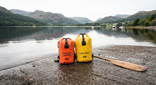 Illustrative photo
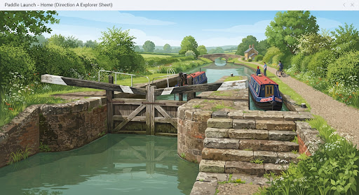 Illustrative photo
Monmouthshire Canal
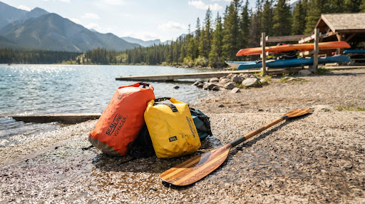 Illustrative photo
Llanishen Reservoir
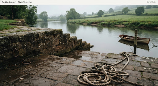 Illustrative photoIllustrative photoIllustrative photo
Llyn Trawsfynydd
Illustrative photoIllustrative photoEastern Cleddau
Illustrative photoLlyn Geirionydd
Illustrative photoIllustrative photoIllustrative photoIllustrative photoMap data: 7 November 2026