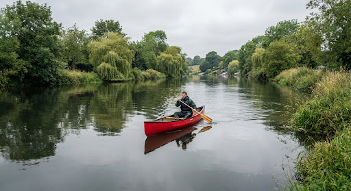
 Illustrative photo
River Thames launch point, Weybridge
River Thames
- Nearest car park
- ≈ 60 m (mapped as private)
- Nearest toilets
- ≈ 60 m (mapped as private)
3,234 mapped launch points on rivers, lochs, canals and the coast of England, Scotland and Wales – with the nearest car park and toilets for each.
Mapped as a launch point. Check local access rules, signs and conditions before you go.
 Illustrative photo
For every launch point we measure the straight-line distance to the nearest car park and toilets on the map.
1,959 launch points · 218 with their own page
885 launch points · 138 with their own page
330 launch points · 45 with their own page
Great Britain: 3,174 points in England, Scotland and Wales – car park within 250 m: 71 %, toilets within 500 m: 49 %.
Bars show the straight-line distance on a 0–500 m scale; a full bar with an arrow means 500 m or more.
Illustrative photoRiver Thames
 Illustrative photo
River Great Ouse
 Illustrative photo
 Illustrative photo
| Water | Launch points | Car park within 250 m | Toilets within 500 m |
|---|---|---|---|
| River Thames | 90 | ||
| The Solent | 51 | ||
| Firth of Clyde | 40 | ||
| Chichester Harbour | 35 | ||
| Firth of Forth | 33 | ||
| River Wye | 21 |
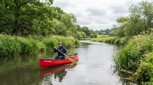 Illustrative photo
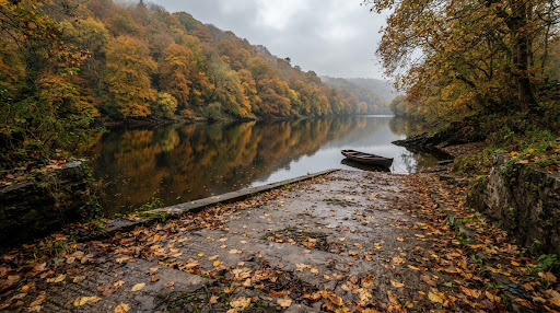 Illustrative photo
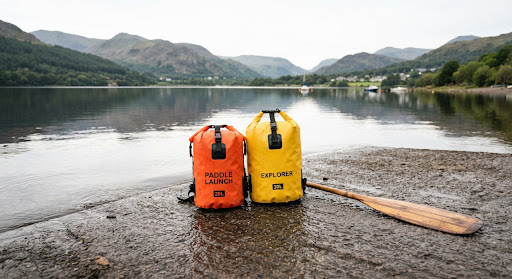 Illustrative photo
Cawcutts Lake
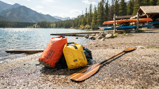 Illustrative photo
Upper Tamar Lake
 Illustrative photo
 Illustrative photo