 Illustrative photo
Launch points in England – page 11
1,959 mapped launch points for canoes, kayaks and paddleboards in England. 338 have their own pages; every mapped point is on the map of Great Britain.
Mapped as a launch point. Check local access rules, signs and conditions before you go.
England in figures
- On average ≈ 1.6 km to the next mapped launch point (closest under 10 m, furthest ≈ 34 km).
- Access on the map: 155 private · 44 yes · 12 no · 11 permit · 10 customers only · 9 permissive · 1 destination only · 1 members only · 1 unknown · 1,715 not recorded
- Surface on the map: 133 concrete · 15 asphalt · 12 paved · 8 grass paver · 8 gravel · 8 sett · 7 paving stones · 6 wood · 4 pebblestone · 3 ground · 2 compacted · 2 grass · 2 metal · 2 mud · 2 plastic · 2 rock · 2 unhewn cobblestone · 2 unpaved · 1 cobblestone · 1 concrete lanes · 1 dirt · 1 sand · 1 steps · 1 stone · 1,733 not recorded
Straight-line distances to the nearest car park and toilets on the map – not walking routes. We can't tell whether they are public, free or open.
Counties: CornwallDevonIsle of WightHampshireKentNorfolkWest SussexCambridgeshireSuffolkWestmorland and FurnessLancashireDorset
Launch points with their own page
338The map loads in your browser.
Bars show the straight-line distance on a 0–500 m scale; a full bar with an arrow means 500 m or more.
Illustrative photo Illustrative photo
 Illustrative photo
 Illustrative photo
 Illustrative photo
Chew Valley Lake launch point, Chew Stoke
Chew Valley Lake
- Nearest car park
- ≈ 50 m
- Nearest toilets
- ≈ 870 m
 Illustrative photo
River Itchen launch point, North Stoneham
River Itchen
- Nearest car park
- under 10 m (mapped as private)
- Nearest toilets
- ≈ 390 m
 Illustrative photo
 Illustrative photo
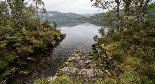 Illustrative photo
Fairhaven Lake launch point, Lytham St Anne's
Fairhaven Lake
- Nearest car park
- ≈ 100 m
- Nearest toilets
- ≈ 50 m
Illustrative photoIllustrative photoIllustrative photoIllustrative photo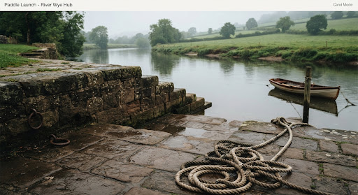 Illustrative photo
Chichester Harbour launch point, Emsworth
Chichester Harbour
- Nearest car park
- ≈ 110 m (mapped as private)
- Nearest toilets
- ≈ 460 m
Illustrative photo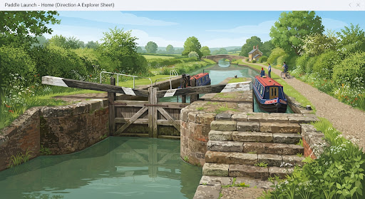 Illustrative photo
Erewash Canal launch point, Long Eaton
Erewash Canal
- Nearest car park
- ≈ 50 m (mapped as private)
- Nearest toilets
- ≈ 590 m (mapped as private)
Illustrative photoDoe Park Reservoir launch point, Denholme
Doe Park Reservoir
- Nearest car park
- ≈ 60 m
- Nearest toilets
- ≈ 3.5 km
Illustrative photoBlakeney Cut launch point
Blakeney Cut
- Nearest car park
- under 10 m (mapped as private)
- Nearest toilets
- ≈ 230 m
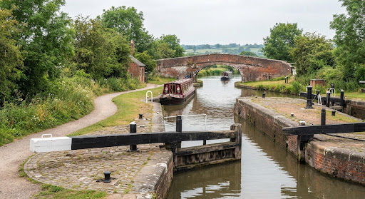 Illustrative photo
River Nene Navigation launch point, Northampton
River Nene Navigation
- Nearest car park
- ≈ 130 m
- Nearest toilets
- ≈ 240 m
Illustrative photoLancaster Canal launch point, Carnforth
Lancaster Canal
- Nearest car park
- under 10 m
- Nearest toilets
- ≈ 50 m
Illustrative photoIllustrative photoIllustrative photoIllustrative photoMore places to paddle
Map data: 7 November 2026